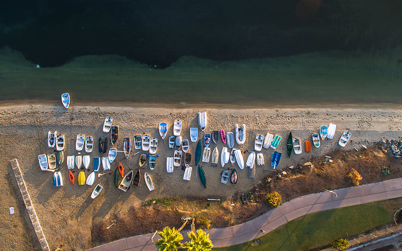
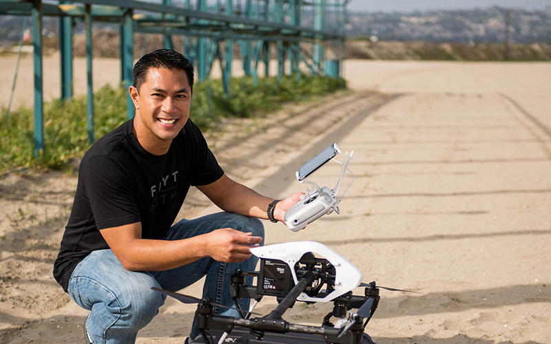
In 2013, San Diego–based photographer Aldryn Estacio affixed a GoPro to a Phantom 1 drone, set the rig to flying, and delighted in the results. Since then, Estacio has scarcely come down to earth: the La Jolla native ventures far and wide to capture aerial images of his city, sharing the results on his website, on social media, and in a 2015 book titled San Diego – Aerial Drone Photography. “Every time I go out, I see something I’ve never seen before,” he says. “I’ve been here my entire life, but now I get to rediscover a familiar area from a new perspective.” Here, Estacio talks about the enduring appeal of chronicling his city from the air.
When you first began shooting with a drone, what did you see from that vantage point that made you want to pursue it further?
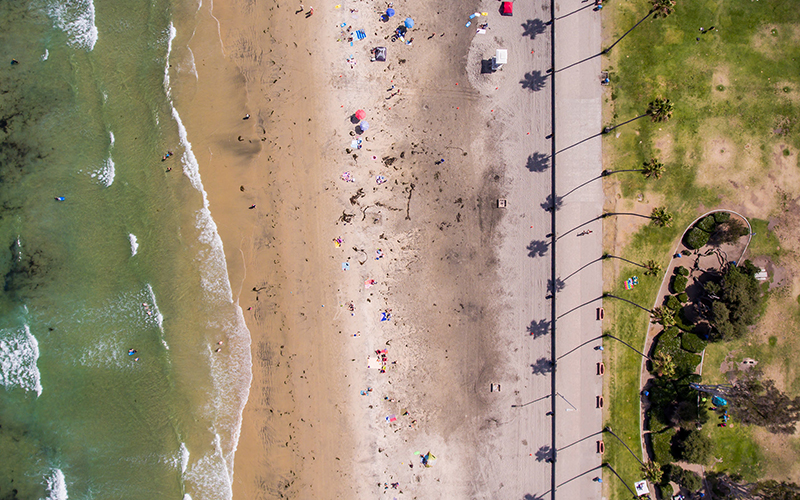
“Before, you’d have to rent a helicopter, pay thousands of dollars, and point your expensive camera with a telephoto lens out the window. Now you could get the same shots with a $400 drone and a $300 GoPro. Instead of going to the same locations on the ground that every other photographer goes to and taking a photo you’ve seen 100 times, you can fly a drone — not even very high — and now you’re getting photos that no one has ever seen.”
The standard playbook for good photography – the rule of thirds, the basics of composition – is predicated on photographing from the ground. How do things change when you’re in the air?
“You still have to have those foundational pieces. Knowing how to properly expose your image, composition, and symmetry all come into play – you’re just taking your photo from a 150-foot tripod. But just because you have a drone doesn’t mean you fly as high as possible. If you’re shooting a skyline and you fly too high above a building pointing down, that building gets lost within the cityscape. But if you stay around 50 to 100 feet, you can still see the height of the building, the clouds, the horizon, and you have an opportunity to compose a shot that’s very unique.”
Walk me through a few of your favorite aerial photos. What are the most reliably photogenic places around San Diego to capture from the air?
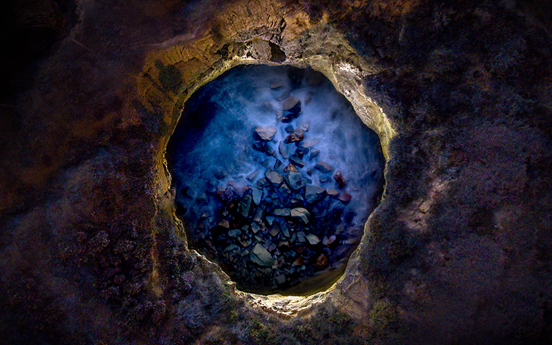
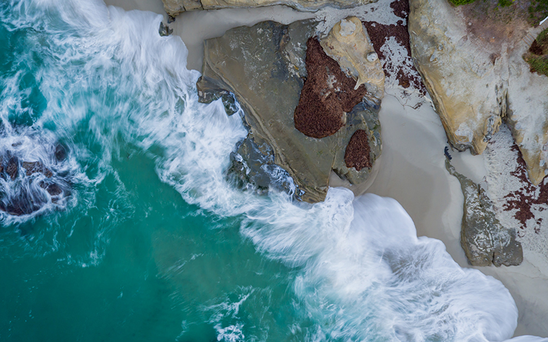
“Scripps Pier in La Jolla is a pretty iconic landmark there – I like anything beach-related during sunrise or sunset. Some of my favorite photos came from shooting at Sunset Cliffs Natural Park. I’ve done a few long exposure photos with this rock formation of caves. Those are on the more creative side of lighting a subject with a drone as well as shooting it: lights on a drone lit up the cave and you can see the water movements down below. It’s a really dynamic composition.
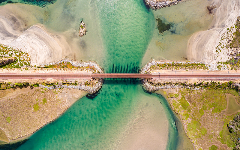
There’s a cool area in Carlsbad with train tracks going over this little water channel, and if you’re patient, you can get a train in the photo. I did a mapping flight, where I shot different photos at different locations, all pointing top-down, and stitched them all together. Everything came together: I captured the water, the green of the algae, and a train coming through.”
It seems like everyone who owns a drone has a story about a mishap. What’s yours?
“This has happened to me a few times: the screen on my iPhone, where I can see what I’m shooting or filming and keeping track on the drone, just completely goes black or the app crashes. Drone technology is so good now that you can just press a button on your remote and the drone will fly back, but you’re just hoping that technology does what it’s supposed to do. There’s silence for three to four minutes where you’re just hoping to hear propellers flying back.”

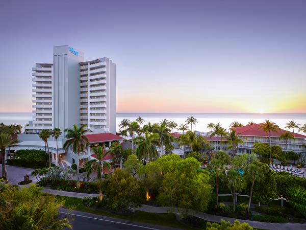
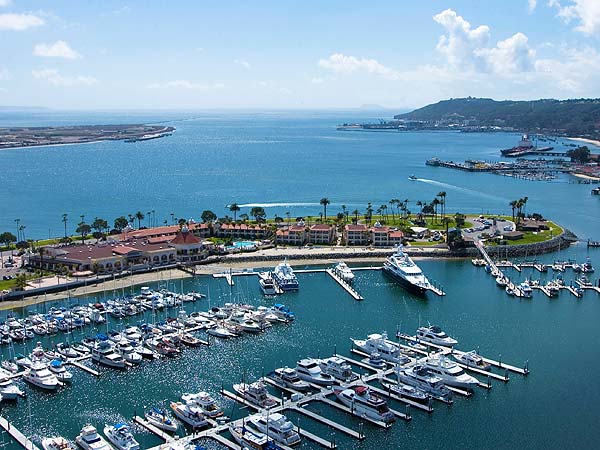
Hilton San Diego Resort & Spa // Kona Kai Resort & Spa
